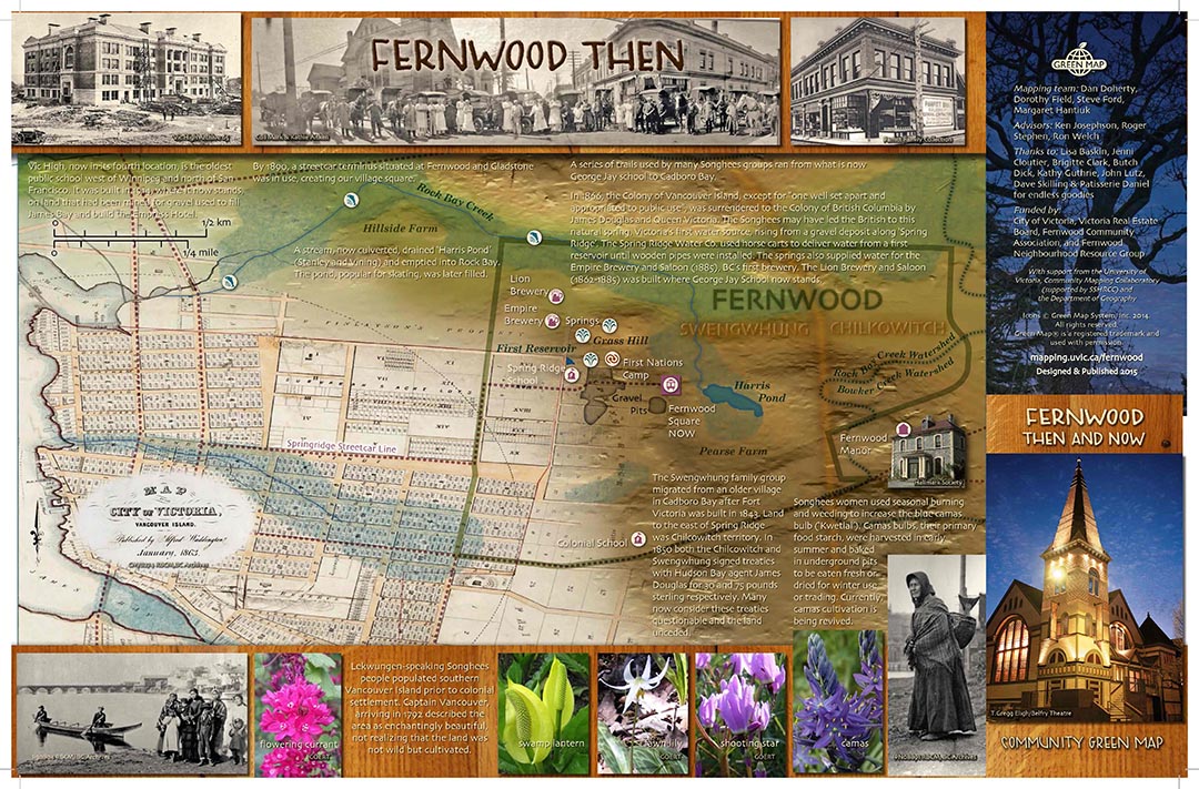
The Mouth of Rock Bay Creek
Before contact, Rock Bay Creek was a coho stream that poured into what is now Victoria's Upper Harbour. Its water would have been cold, kept chill by overhanging old growth forest. Its bottom would have been gravel. Its mouth might have supported sedges, eelgrass, and a tapestry of berry plants buzzed by mayflies, and a twitter of small birds. Eagles, raptors and bears would have hunted the coho, now in their red breeding colours as they returned from the ocean to the pools where they were born.
When early settlers built Fort Victoria, Lekwungen people moved from their village at Cadboro Bay to set up camp around the mouth of the creek. Other First Nations came from farther north to camp there and trade with the newcomers at the fort.
In autumn, coho returning from their sojourn in the ocean could have been seen leaping the falls just above the mouth of the creek. Early settlers named them Finlayson Falls, then blasted out the rocks and paved them into the steep section along lower Queens Street.
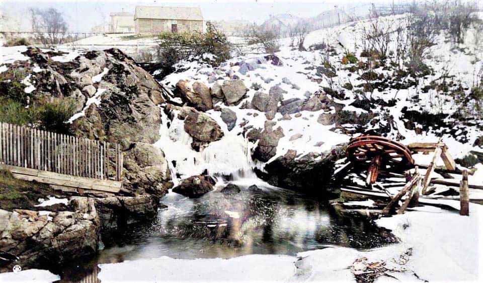
Finlayson Falls where Rock Bay Creek outfalls into Rock Bay (~mid 1800).
(photo BC Archives, colourized by Steve Thompson)
In the 1890s, the creek was culverted from Harris Pond where it rose to where it continues to feed into the Gorge Waterway. From the 1860s to the 1950s, a coal gasification plant operated by Victoria Gas and BC Electric (now known as BC Hydro) on the four acres around the mouth of the stream, made it one of the most toxic sites in Canada. BC Hydro and Transport Canada spent nearly $150 million cleaning up the site. 2016 marked the end of a 13 year remediation process of the 1.7 hectare site. In the process, 250,000 tonnes of contaminated soil were removed.
A 250-meter length of murals, painted by First Nations youth based on designs by Butch Dick and Darlene Gait, was raised along government street as the clean up was nearing its end. Imagery of bald eagles, whales, pristine forests, and waterfalls are reminders of the importance of a healthy environment. Esquimalt Chief Andy Thomas said the art represents “our relationship to the land, the water and the resources you see painted in the pictures. It tells the stories of our families who lived on this land. When you take care of the land, the land is going to look after you.” In 2016, the Esquimalt and Songhees Nations purchased the site with ambitious plans for the future.
Might we make it possible for the coho to return? Might we bring back the falls? With good strong dreaming, who knows what might happen.
See more about Fernwood history at Victoria Heritage Foundation.
Harris Pond – Rock Bay Creek map PDF.
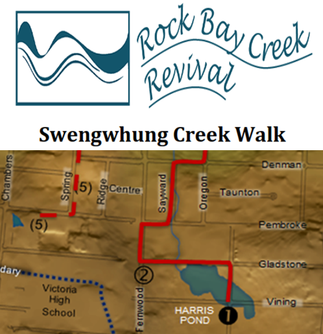
*NEW* DIY Creek Walk by Dan Doherty - PDF download - print (3-fold & 2 sides) and stroll the route of the underground creek, solo or with a group of friends.
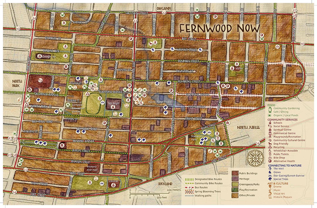
Fernwood THEN & NOW PDF
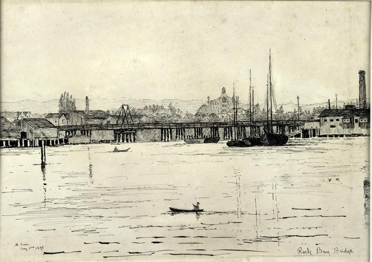
Drawing of Rock Bay bridge by Emily Carr 1895